
Reading Doubtful Sound history in the landscape
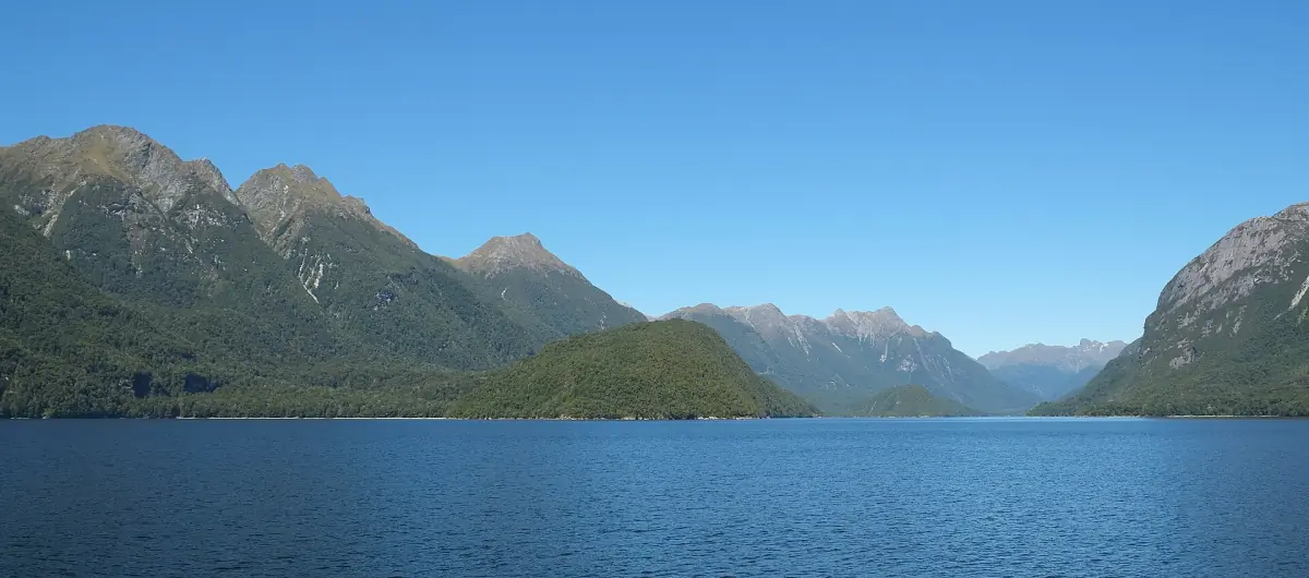
Doubtful Sound history begins with the landscape that frames a visit today. Doubtful Sound/Patea lies within Fiordland National Park, where the approach across Lake Manapouri and over Wilmot Pass leads to Deep Cove. These connected places help explain why natural history, transport and the Manapouri power project belong in the same account. Keep the journey in mind when looking at the different periods described here.
UNESCO describes the wider landscape as shaped by repeated glaciations, with fjords, lakes, rocky coasts and waterfalls. A present-day view therefore records the effects of ice over time. Look at the relationship between the water and the surrounding mountains rather than expecting a contemporary glacier visit as part of a fjord cruise. The Doubtful Sound overview introduces the ways to experience this setting.
Patea and the regional Māori context
DOC uses the name Doubtful Sound/Patea. Its account of Fiordland’s history describes seasonal food-gathering camps and interconnected routes across the region. This offers a way to understand the area as a place of movement and resources as well as dramatic scenery. Keep that regional context distinct from the history of any particular cove or settlement.
In the tradition recounted by DOC, Tuterakiwhanoa shaped the landscape. DOC’s account of Te Awaatu Channel also places this tradition in the area between Secretary Island and Resolution Island. Read it as a cultural tradition with that source attribution, alongside the account of glacial landscape formation. Both deserve careful language. Using Patea as the place name, without adding a casual translated slogan, keeps the introduction respectful and precise.
See the landscape today
This scenic flight offers a present-day view of the landscape with two mountain landings.
Hand-picked tours, booked through GetYourGuide. Prices are indicative starting prices in US dollars (as of October 2026). Tap a tour for live availability and the current price in your currency.
View the landscape from above
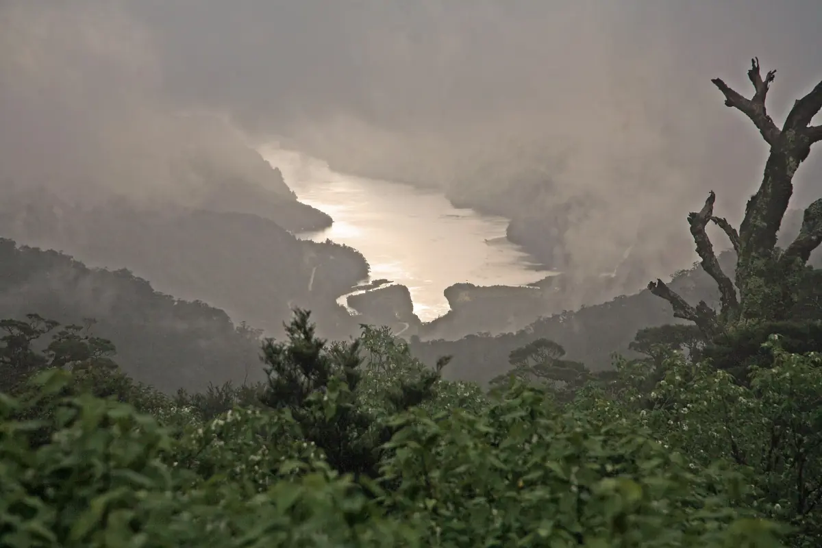
A scenic helicopter flight with two mountain landings offers a present-day perspective on the terrain described in this history.
Fiordland National Park and World Heritage
Fiordland National Park was formally constituted in 1952. DOC describes a park covering more than 1.2 million hectares, placing Doubtful Sound within a much larger protected landscape. The park is the geographical and conservation context for this fjord, rather than a separate attraction that can be covered by a single local cruise.
The heritage dates describe successive steps. DOC gives 1986 for the earlier World Heritage recognition of Fiordland. In 1990, UNESCO inscribed the larger Te Wahipounamu, South West New Zealand, incorporating the existing Fiordland site. Keeping the two stages in order makes the chronology clear. The present landscape belongs to that wider story, while a visit still centres on the route and activity selected for Doubtful Sound.
Manapouri construction and environmental protest
The underground hydroelectric station sits at West Arm on Lake Manapouri. Construction began in 1964, with the first electricity generated in September 1969. Full operation followed in 1972 with the seventh generating unit. The original discharge tunnel carries water towards Deep Cove; a second tunnel was completed in 2002. This links the lake and fjord in an industrial history as well as in the modern visitor journey.
The original plans included raising the lake by as much as 30 metres. After protests, the government confirmed in 1972 that the water level would not be raised, and the Guardians were established in February 1973. These decisions are central to the environmental history of Manapouri. Consider the lake view on the approach in that light, while arranging your visit around the booked outdoor experience rather than an underground power-station tour.
Seeing the setting today
The scenic helicopter experience featured here provides a present-day view of the terrain. Its stated inclusions are a flight of 2 hours and 15 minutes, two mountain landings, a professional pilot and a full safety briefing. Treat it as a landscape flight when choosing the experience. Flights and landings depend on weather. The scenic flight guide explains how the available routes differ.
To follow the regular approach on the ground and water, use the Lake Manapouri and Wilmot Pass access guide. A day cruise then places you within the fjord landscape itself. Choose between those experiences according to how you want to see the place, leaving this chronology as context for what you encounter rather than expecting every excursion to provide a specialist historical interpretation.
Questions about your visit
What does Patea mean?
DOC uses Doubtful Sound/Patea as the place name. Use that name when reading about the area, and approach the regional Māori traditions through DOC’s attributed account rather than an informal translated slogan.
Why do both 1986 and 1990 appear in the heritage story?
They refer to different stages: earlier World Heritage recognition of Fiordland in 1986 and inscription of the larger Te Wahipounamu area in 1990, incorporating the existing site.
Is the featured flight a history tour?
It is a scenic helicopter experience with 2 hours and 15 minutes of flight time, two mountain landings and a safety briefing. Choose it for the landscape perspective; the history on this page supplies context for your visit.